
Discover the beauty of Cape Breton Island with a journey through the picturesque Cabot Trail. This scenic road takes you through northern Victoria and Inverness counties and offers breathtaking views of the coastline, historic woods, glacier-carved rock formations, and the majestic Cape Breton Highlands.
In truth, the Cabot Trail’s journey is the destination in and of itself. Above all, it’s a path you may take at your speed.
The northern part of the route passes through the Cape Breton Highlands National Park. The western and eastern parts follow the rugged coastline, offering spectacular ocean views. This tourist route is open year-round.
Where is the Cabot Trail ?
The Cabot Trail, which runs along the Atlantic Ocean’s cliffs, is peppered with charming hamlets. There are numerous viewpoints along the road that offer breathtaking views. It’s important to pause and reflect on the scene of this untamed nature, where a restless sea, steep hills, and a dense forest filled with diverse fauna collide.
The road officially designated as “Road 30” is a well-known and frequently traveled route for both local residents and visitors alike.
The route winds its way up and along the Gulf of St. Lawrence, eventually arriving at the stark plateau of Cape Breton’s Acadian region. The villages of Belle-Côte, Cap Lemoyne, Saint-Joseph-du-Moine, Grand-Étang, and Chéticamp all have French names.
You can locate the Cabot Trail road on the map below:
Enlarge the map
Facts about the Cabot Trail road
How long is the Cabot Trail ?
The Cabot Trail is a magnificent scenic road located in the northern part of Victoria and Inverness Counties on Cape Breton Island in Nova Scotia, Canada. Measuring a total of over 300 kilometers in length, it winds its way along the northern tip of the island and offers breathtaking views of the Cape Breton Highlands.
It’ll take a few hours to complete the journey because it’s a long one. If you want to take in the surroundings, plan on spending at least a whole day doing so. It is available all year and completes a loop around the northern side of the island.
Furthermore, the route is enjoyable to drive. It has a smooth asphalted surface and several twists and bends, making for an enjoyable drive. You’ll travel across the greater part of Nova Scotia’s Cape Breton Island on a meandering route with spectacular views. It’s ideal for a thrilling ride. It must be properly enjoyed if you want to get the most out of it.
Also, if you want to discover the road in interactive way you could for example book this experience if you’re gonna be there.
Riding a motorcycle on the Cabot Trail is a popular choice as it allows you to traverse the route swiftly. Experience the rush of a thrilling ride in a natural setting as you wind through twisting roads along the ocean cliffs. This picturesque route is a dream come true for driving enthusiasts, as it resembles the scenic routes often featured in car advertisements.
Why is it called Cabot Trail ?
It was named after the famous explorer, John Cabot, who is credited with discovering Atlantic Canada in 1497, although some historians believe he actually landed in Newfoundland instead of Cape Breton Island. The road was completed in its initial construction phase in 1932.
Cabot Trail map:
The Cabot Trail circles Cape Breton Island, passing the island’s peak and following the island’s west and east coasts. The municipality of Baddeck, known as the beginning and end of the Cabot Trail loop, is the ideal starting location for this classic Canadian route.
Travel & Leisure magazine named Cape Breton Island the best island in Canada, and it’s easy to see why. No matter which way you look, the views are simply stunning and breathtaking.
Another dope road in Canada is the Sea to Sky highway.
You can see the itinerary of the Cabot Trail on this map:

Must see on the Cabot Trail :
Baddeck:
Overlooking the Bras d’Or Lake, Baddeck is a charming village where it is nice to take the time to walk around or to sit on a small terrace to have a meal. This village is as charming as you could wish for and has many attractions that are worth a visit. You can choose it as a stopover or find a camping.
The Alexander Graham Bell National Historic Site presents a series of inventions developed by Bell, as well as the instruments he used during his research. It also tells the story of Bell’s life.

Bras d’Or Lake:
The Bras d’Or Lakes are a nearly 1,100-square-kilometer lagoon surrounded by hills. Indeed, it divides the island into two sections: the Cape Breton Lowlands and the Cape Breton Highlands.
The lake is a large stretch of salt water that attracts a variety of wildlife, including the majestic bald eagle, which can occasionally be spotted. Furthermore, the lake and its various arms (Channel St. Andrews, Channel St. Patrick) are abundant in fish, including trout and salmon, for the enjoyment of anglers. The Bras d’Or Lakes Scenic Drive allows you to drive around the lake.
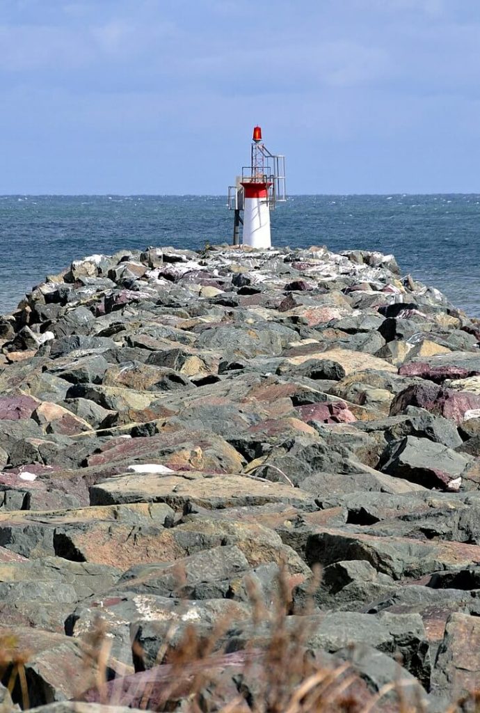
Glace Bay:
Glace Bay is situated on the Atlantic coast in an area rich in coal. Which served as the region’s primary source of income until the early 1990s. Its name comes from a French phrase that refers to ice floes off the coast.
Glace Bay once had a thriving mining sector.
Visit the Cape Breton Miner’s Museum to learn more about this ancient industry. Some processes and tools used to extract coal are displayed in exhibits. There’s also a recreation of a mining village from the early twentieth century. Finally, maybe the most fascinating aspect of this museum: a guided tour of an old coal mine.
Halifax :
If you are already on Cabot Road you can easily reach the city of Halifax where there are many cool activities such as a beautiful sunrise boat tour or an escape in the city’s neighborhood.
A preview of the Cabot Road:
If you are planning to drive this road, or just want to discover this beautiful road, you can obviously watch this YouTube video:
Is the Cabot Trail open?
This tourist route is open all year round.
Because there is no route to traverse the middle of Cape Breton Island, you must complete the trail, either by completing the loop or turning around.
The Cabot Trail has a limited number of gas stations. You should be able to finish the loop on one tank if you fill it up before you begin.
On the hills, you must be extremely cautious when riding. Before you travel to Nova Scotia, make sure your brakes are in good working order.
Aside from its ancient sites, the island attracts thousands of nature lovers each year who come to explore the island’s extraordinary wilderness, such as the enormous Cape Breton Highlands National Park, which offers hiking routes and breathtaking views. You should try taking the Cabot Trail, which encircles the island and is surrounded by deep forest and sprinkled with quaint settlements, to really appreciate the island’s beauty. This is a must-see!
Pictures sources: By chensiyuan – chensiyuan, CC BY-SA 4.0, https://commons.wikimedia.org/w/index.php?curid=7880429 / By Michel Rathwell from Cornwall, Canada – Baddeck, Nova Scotia, CC BY 2.0, https://commons.wikimedia.org/w/index.php?curid=68646769 / By Dennis Jarvis from Halifax, Canada – DGJ_4808 – Glace Bay North Breakwater Light, CC BY-SA 2.0, https://commons.wikimedia.org/w/index.php?curid=45850770
Discover other roads around the world: click here or see our road map!
![]()
![]()
![]()
![]()
![]()
![]()
![]()


